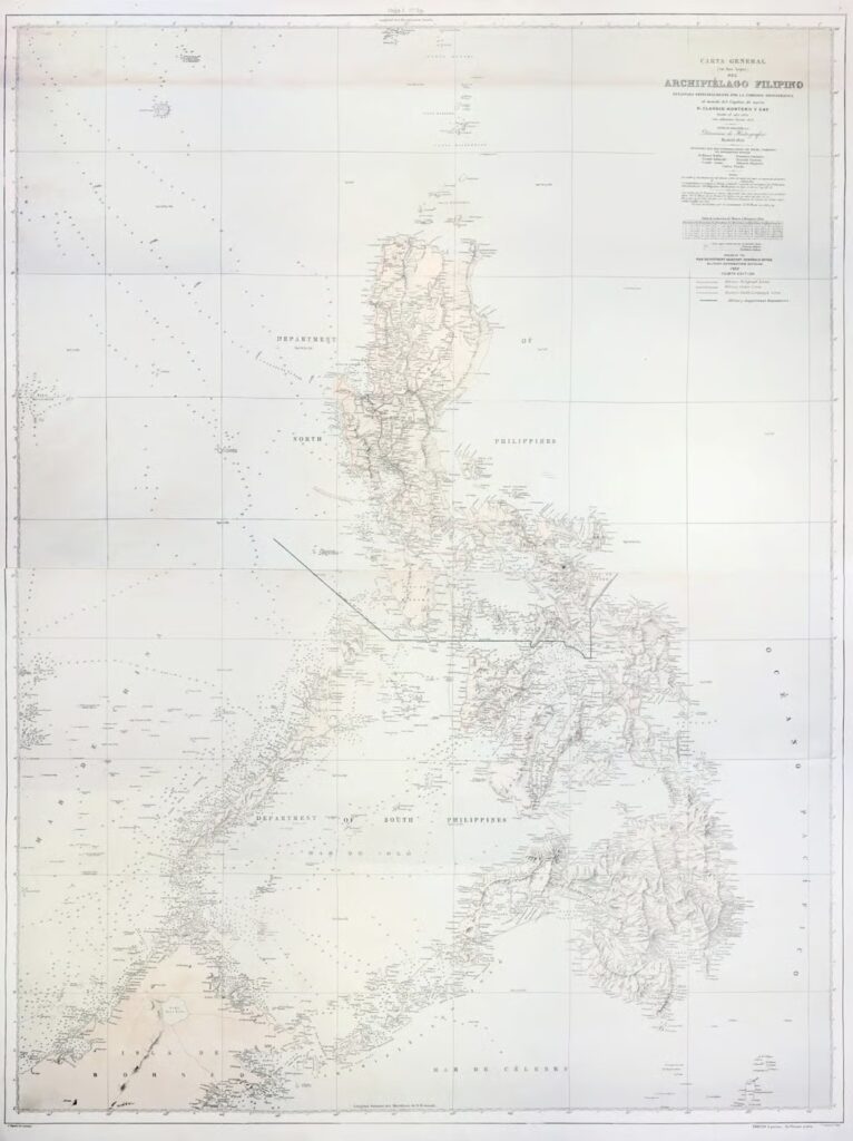
For seven years, Justice Carpio traveled to Madrid, Spain, and various parts of the United States in pursuit of an original print of this historic map. He recently donated a copy to the National Library of the Philippines, where it now serves as a key historical document.
The 1875 Carta General is one of the most complete and detailed official Spanish maps of the Philippine archipelago. It clearly depicts important Philippine territories, including: • Los Bajos de Paragua (the reef systems historically associated with the Spratly Islands, now known as Palawan’s Kalayaan Island Group) • Panacot (also called Bajo de Masinloc or Scarborough Shoal off the coast of Zambales)
This map strengthens the historical basis for the Philippines’ position over these features, as it was later adopted and reissued by the United States War Department after the Spanish-American War.