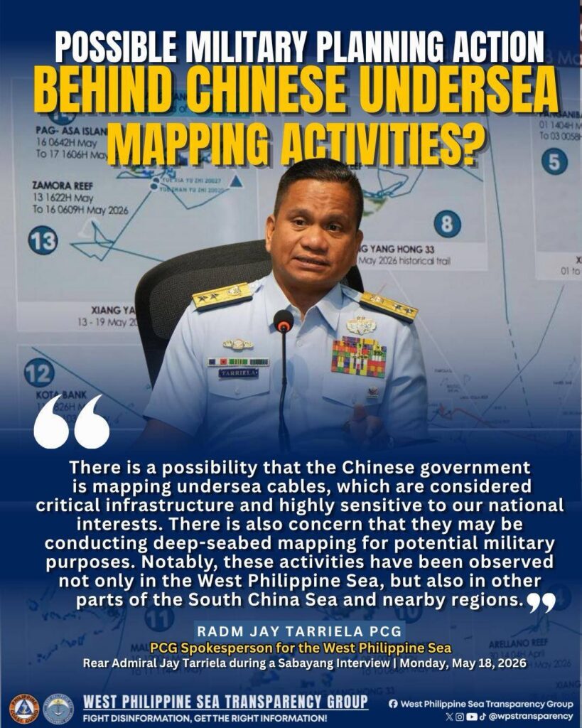
In a media interview on May 18, 2026, 𝐑𝐞𝐚𝐫 𝐀𝐝𝐦𝐢𝐫𝐚𝐥 𝐉𝐚𝐲 𝐓𝐚𝐫𝐫𝐢𝐞𝐥𝐚 said that the presence of Chinese Maritime Research Vessels may possibly indicate that they are conducting activities related to 𝐦𝐚𝐩𝐩𝐢𝐧𝐠 𝐮𝐧𝐝𝐞𝐫𝐬𝐞𝐚 𝐜𝐚𝐛𝐥𝐞𝐬, which are considered critical infrastructure and are highly sensitive to Philippine national interests. He also believes that there is a high possibility that deep-seabed mapping operations are being carried out, which could have potential military applications.
The activities were reportedly observed not only in the 𝐖𝐞𝐬𝐭 𝐏𝐡𝐢𝐥𝐢𝐩𝐩𝐢𝐧𝐞 𝐒𝐞𝐚 but also in other areas of the broader South China Sea and nearby regions, prompting continued monitoring by the agency over possible implications for maritime and national security.